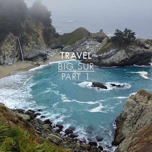
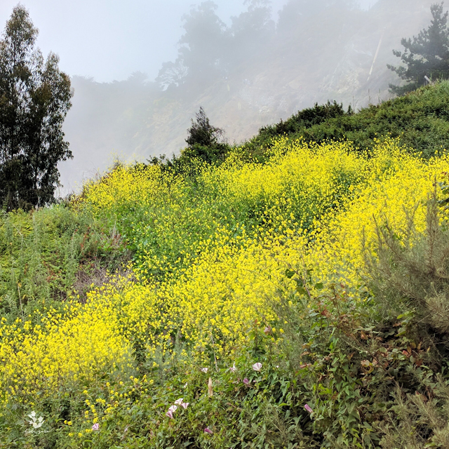
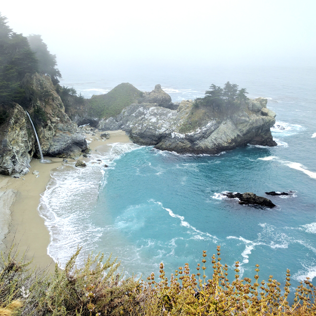
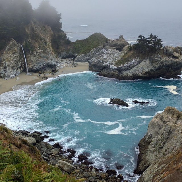
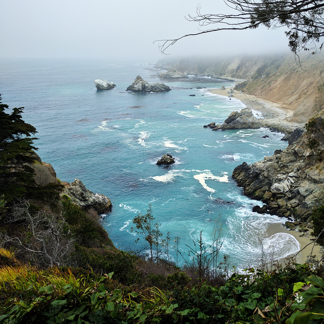
Hi friends and welcome new ones. Today’s post is about my recent trip to Big Sur. Big Sur is on the central coast of California and spans from San Simeon to Carmel. California’s winding Highway Route 1 cuts through this beautiful terrain. The seaside cliffs and misty atmosphere make this place magical. I was there for 3 days and 2 nights and stayed at the lovely Fernwood Resort. Having Fernwood as my base camp, I was able to explore some nearby hiking trails. I went to McWay Falls and Partington Cove. McWay Falls is one of the most photographed and recognizable landscapes in Big Sur; I was excited to see it in person. The day I visited was overcast, but the views were still breathtaking, it was very ethereal.

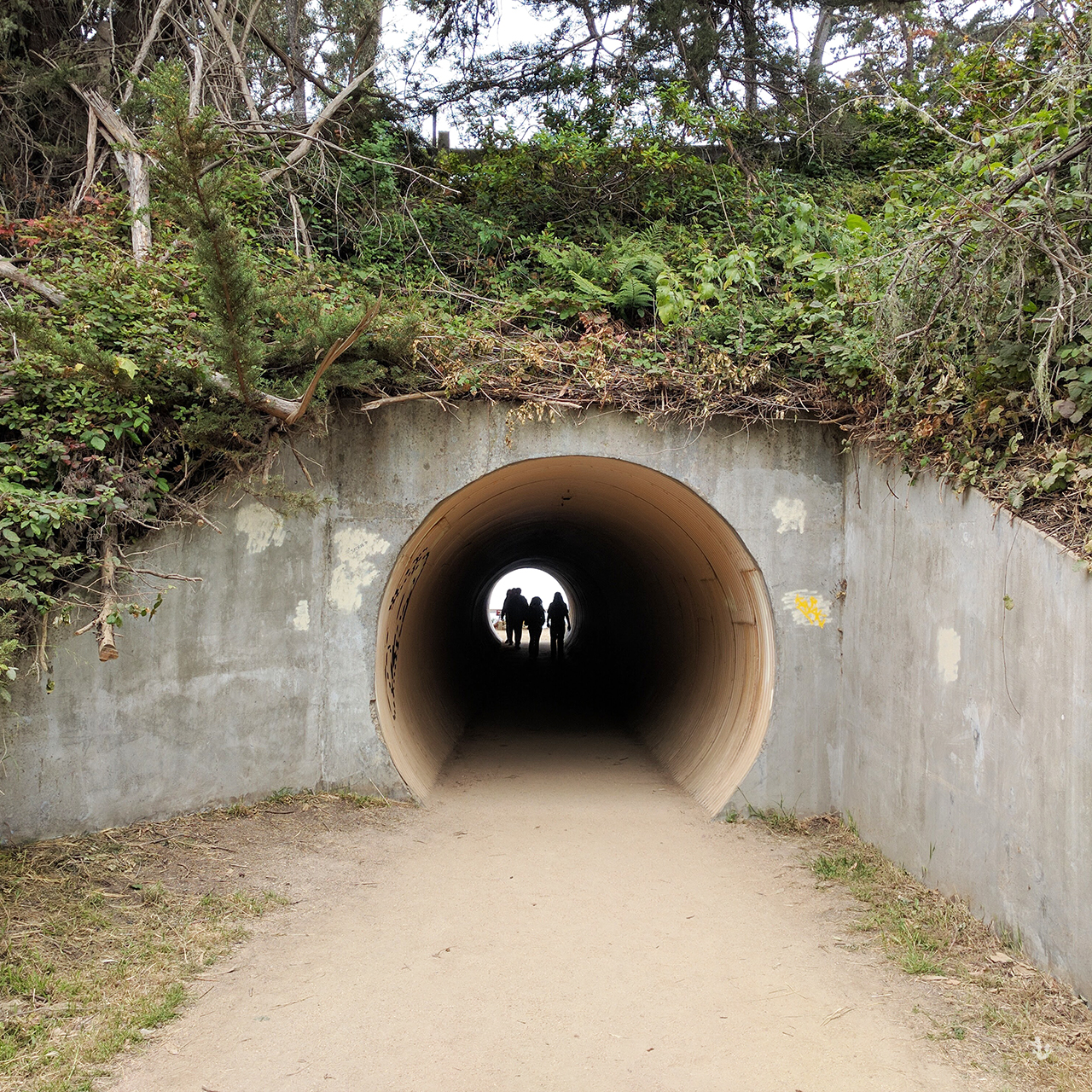
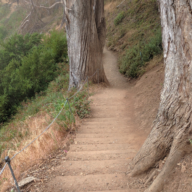
A few tips when visiting this area, there is street parking on Highway 1 but beware of the soft dirt on the shoulder, as your tires could sink and make it hard to drive off. I would recommend parking at the Julia Pfeiffer State Park parking lot and walking from there. There is a short tunnel going to and from the parking lot to the start of the trail. The stairs mark the beginning of the trail, while California natives along the trail lead you down to a covered wooden walkway. The trail ends at the ruins of the old “Waterfall House” built by Lanthrop and Helen Brown. This is another vantage point where you’ll see the beautiful pacific coastline with native plants and the ocean crashing up against the sand and rocks.
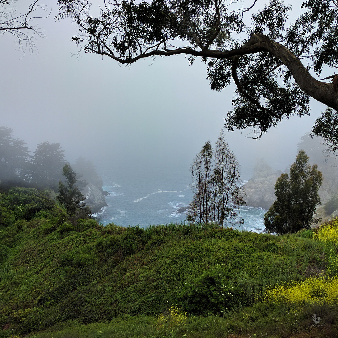
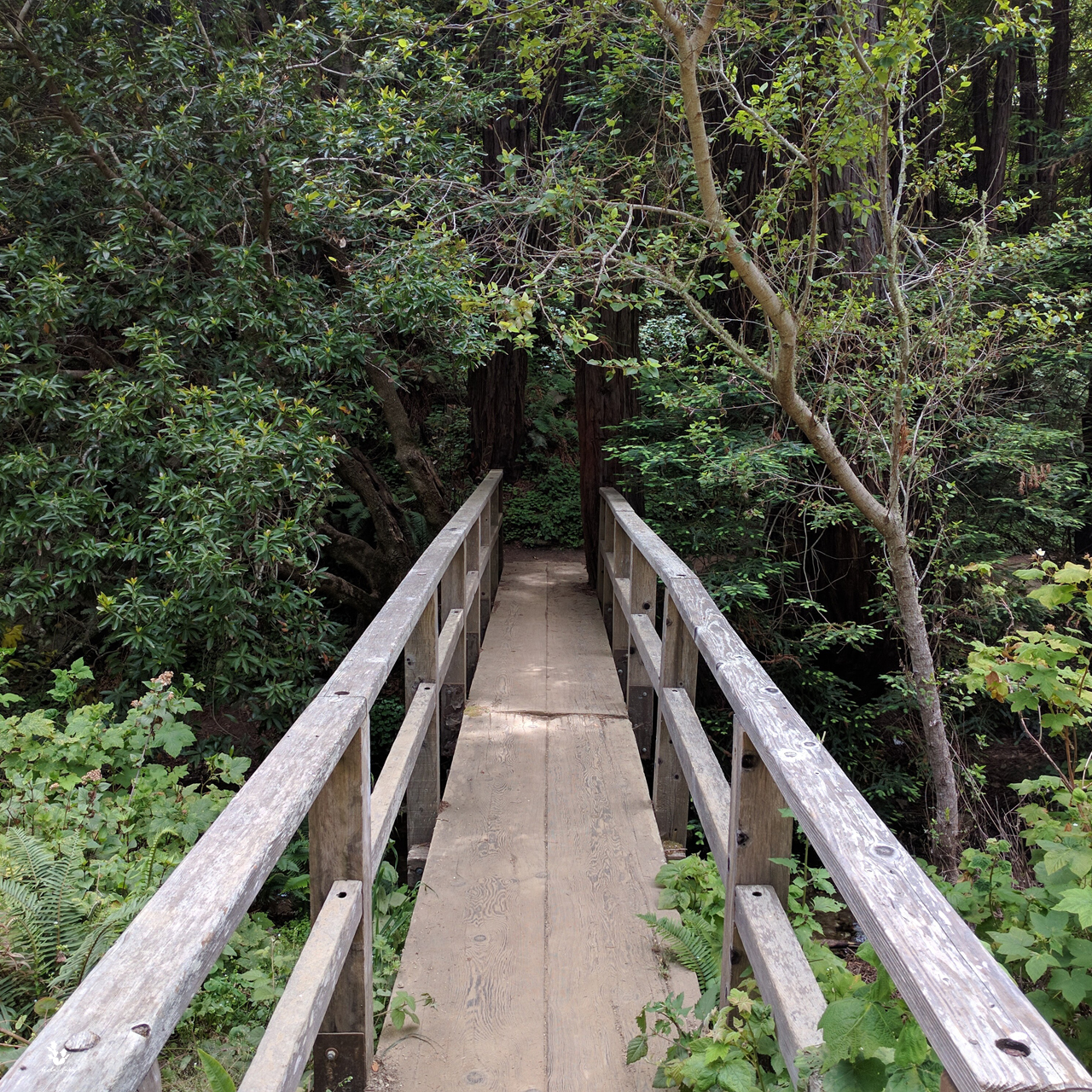
 The other hike I did was to Partington Cove. I really enjoyed this hike because there are three different trails you can take, all starting near the bridge. Two lead to the ocean and one leads you into the forest. I did all three and I would highly recommend checking them out.

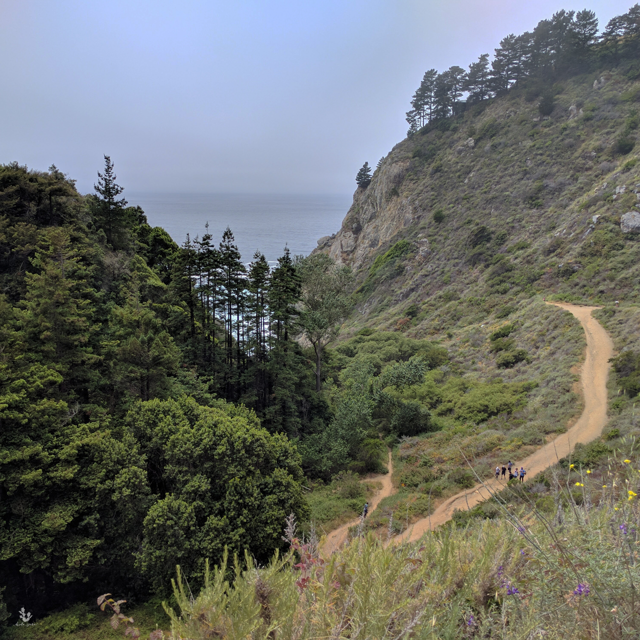
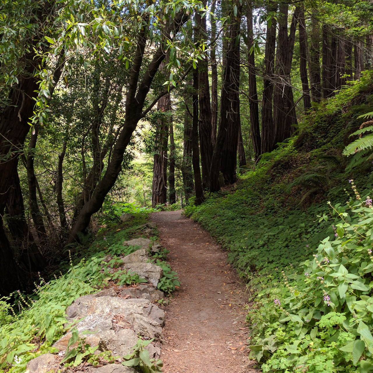
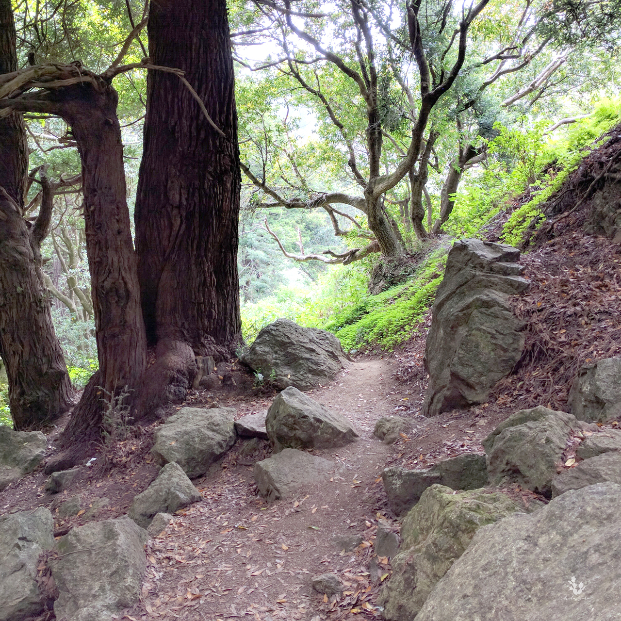
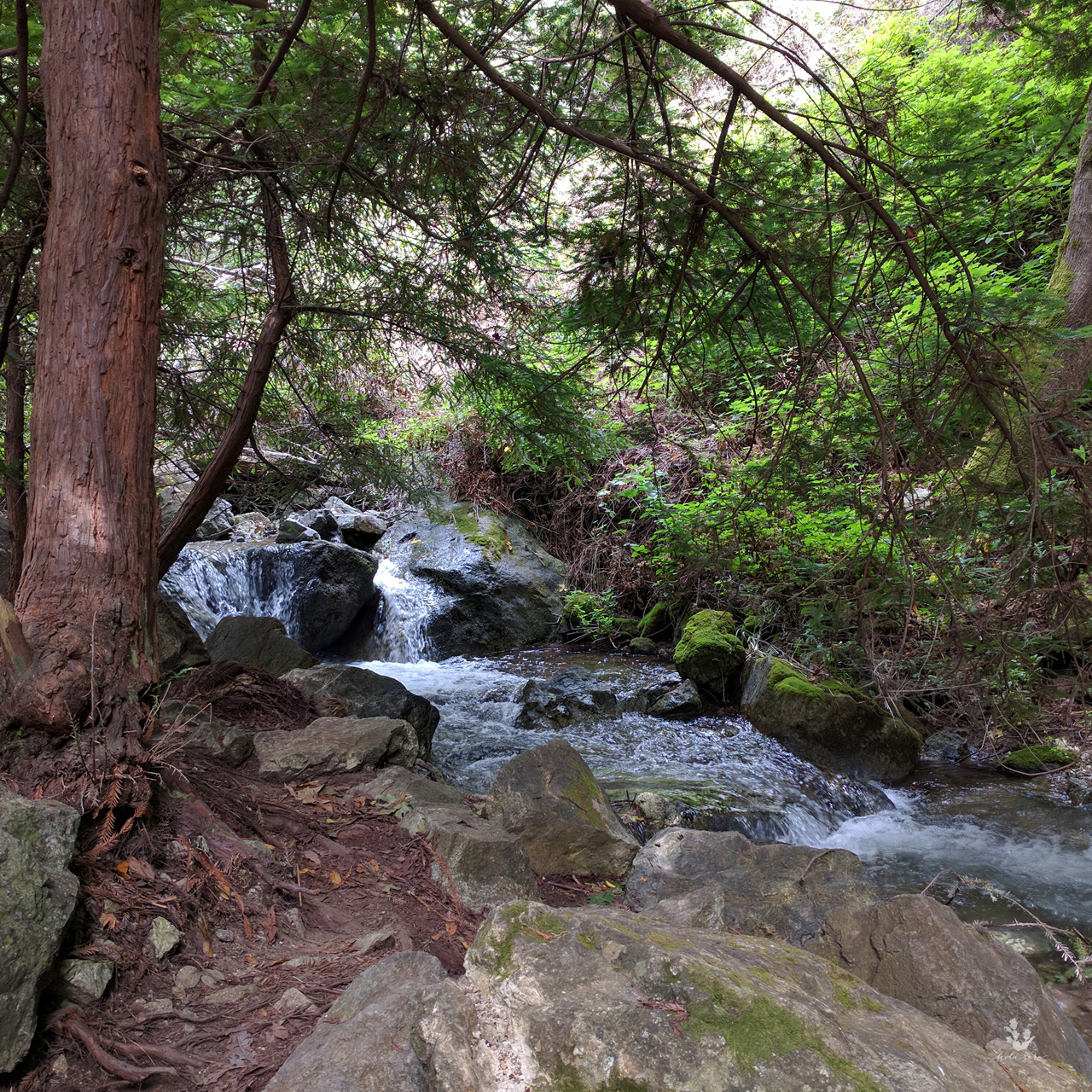
There isn’t a designated parking lot, so a lot of people park on the side of the road off Highway 1, the trail starts at a metal gate on the ocean side. The trail is steep at first going down at first, but it’s worth it. The vantage points are breathtaking. As you walk down the steep, but well maintained, dirt road you come to a bridge. This is where the trail splits into three. You can choose to go left into the forest, this is a small little stroll where the trails ends among dense foliage and rocks from Partington Creek, the creek is impassable and dangerous. I would not recommend going pass where the trail ends. 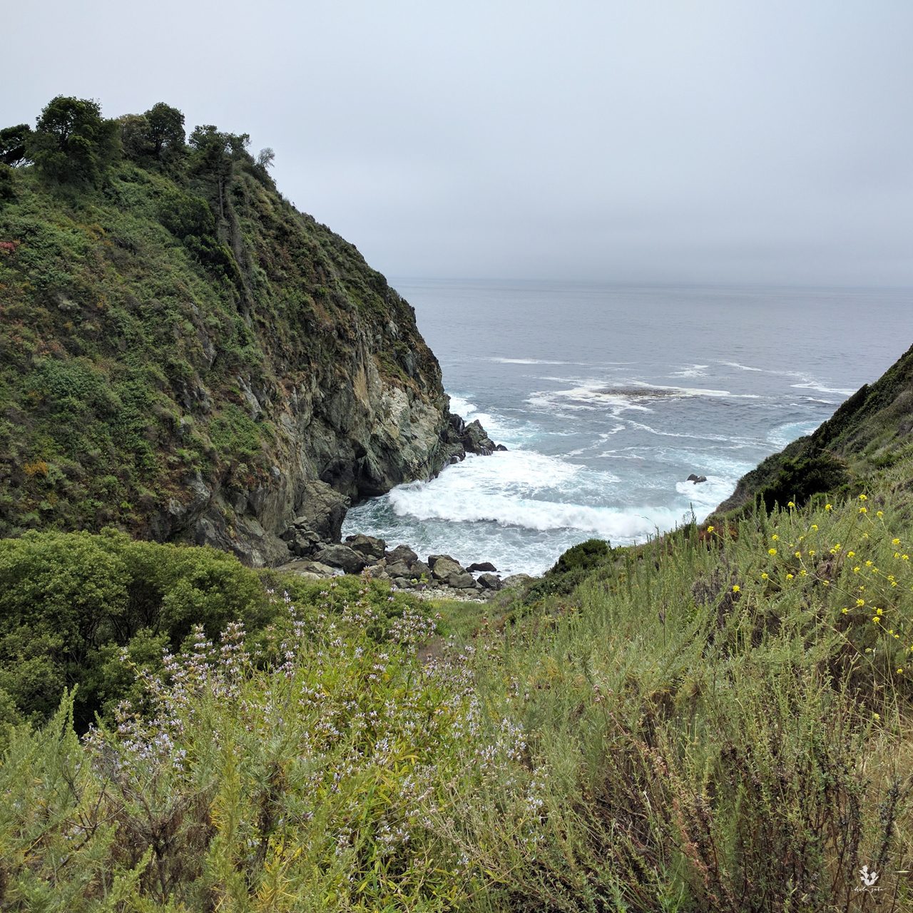
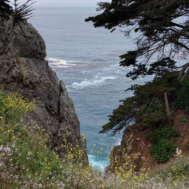
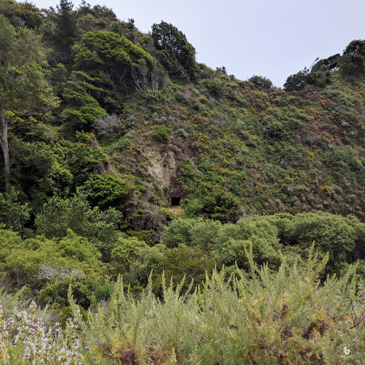
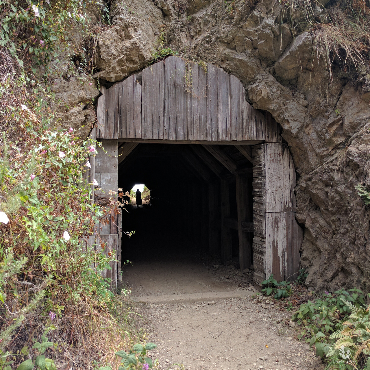
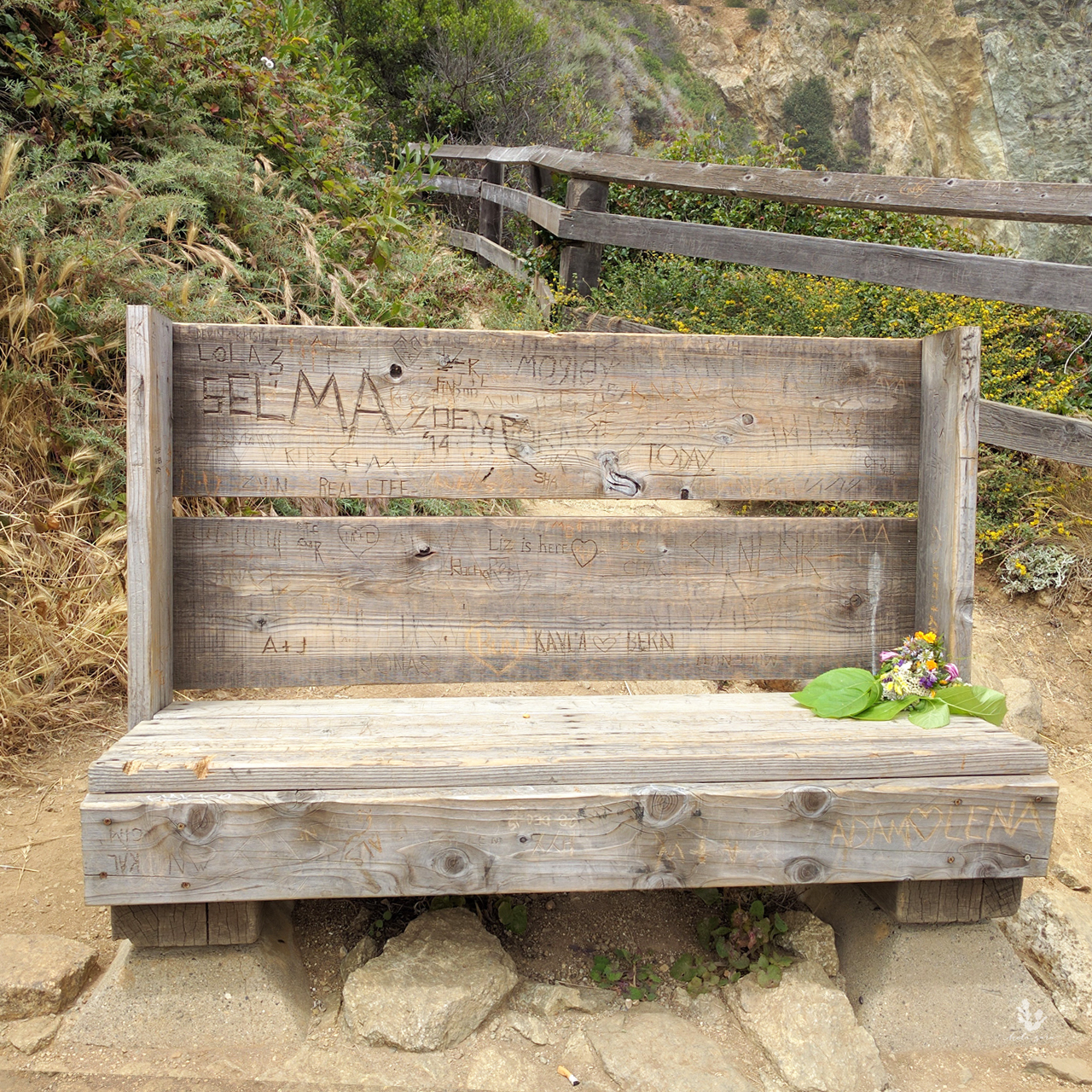
 The second trail goes across the bridge and into a tunnel down to Partington Cove. There is small wooden bench at the end of the trail to sit and enjoy the cove.
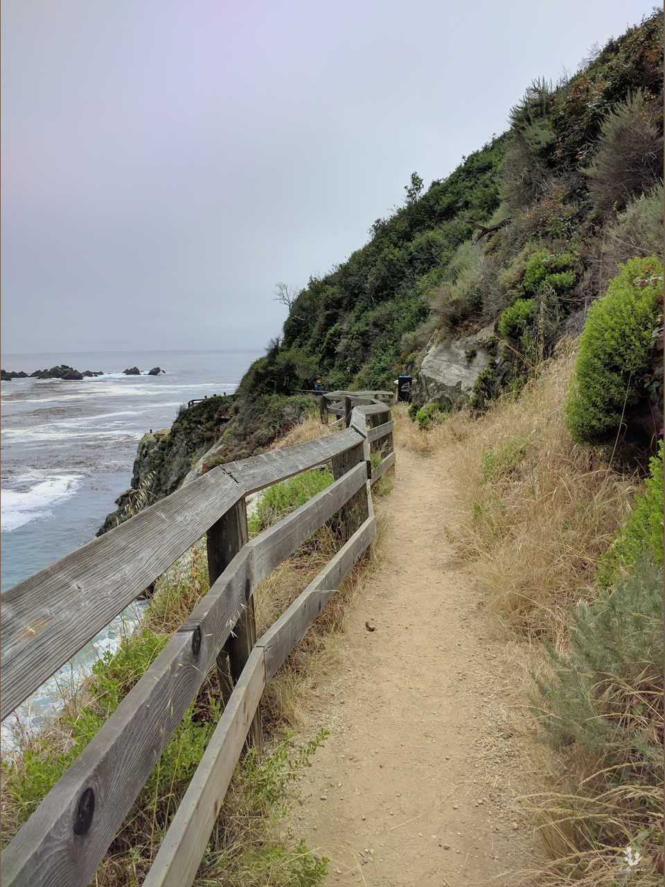
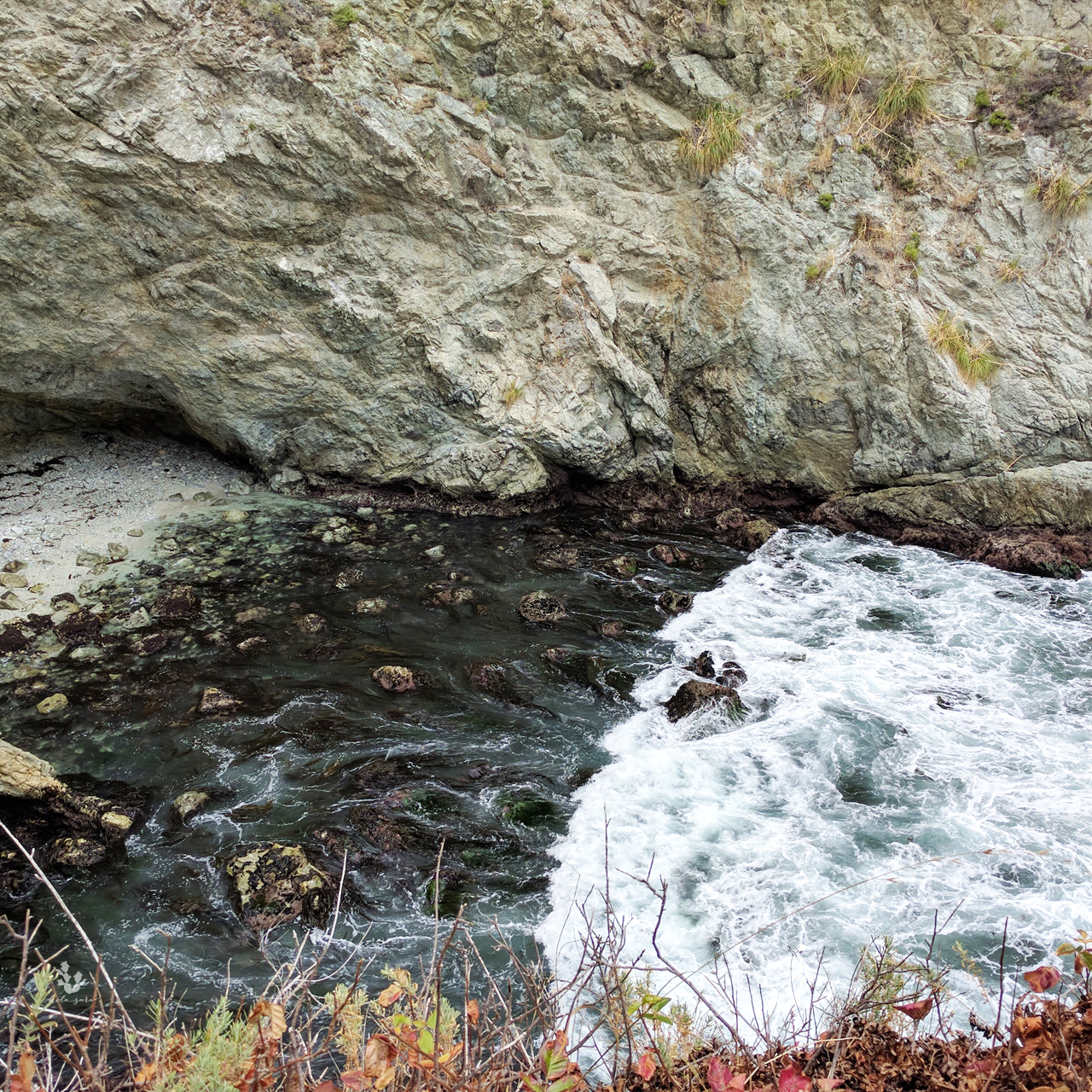
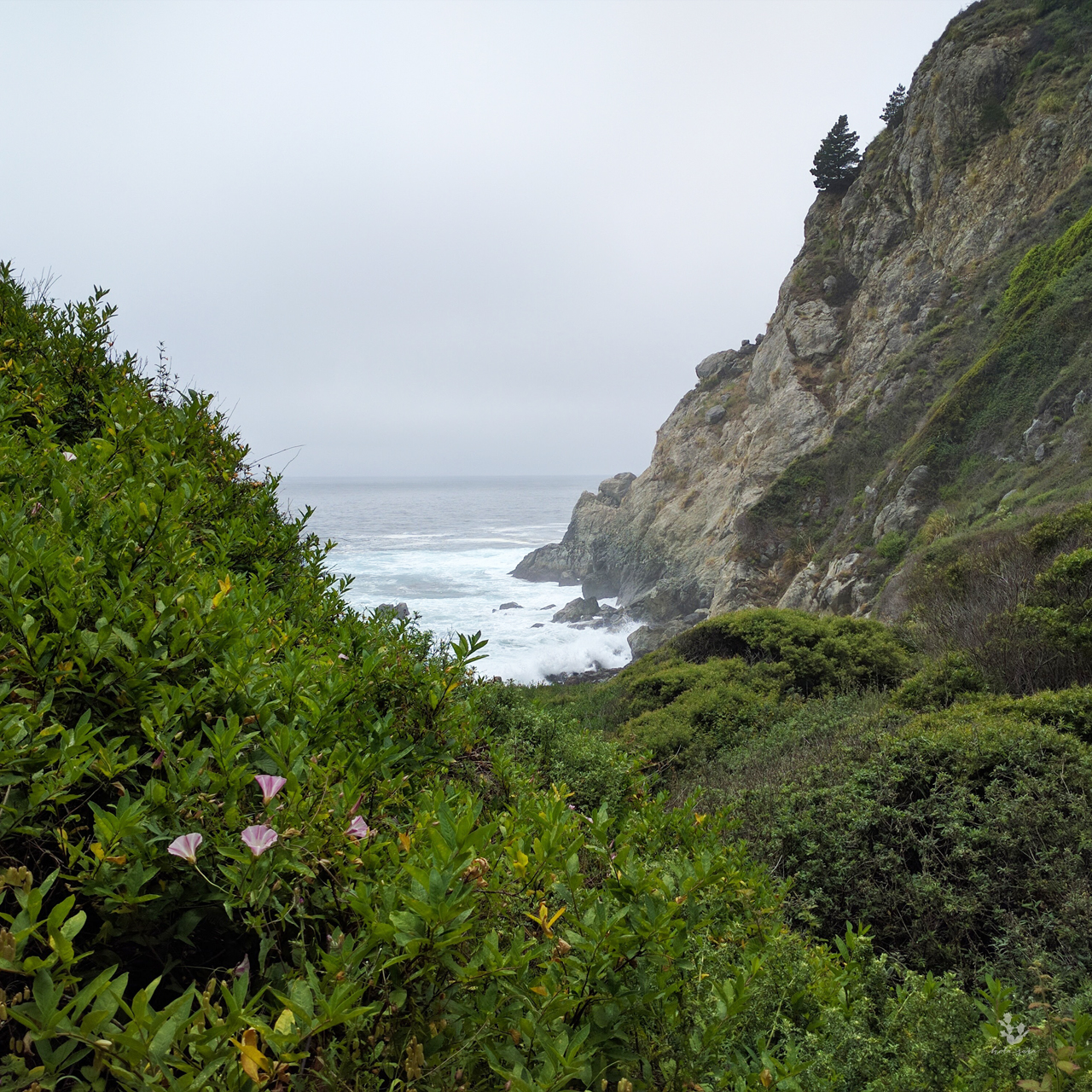
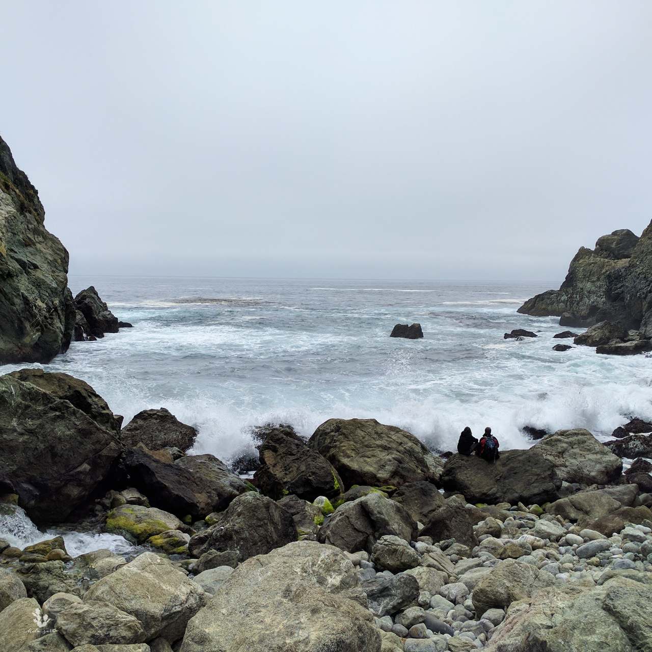
The last trail is to Partington Point. This was my favorite part of the hike, walking through California natives down to the rocky ocean. You can hear the ocean crashing up against the granite rocks. Partington Cove and Point also have tidepools amongst the rocks.
 Overall this little trip was amazing and I had the best time. If you haven’t already, put Big Sur on your list of places to visit.


